Previous – The Maritime Museum
The next day we took another rest day, and I really needed it. It was the day of the Diemen weekly market, and Tharash and I went along with his mom. There were bakery stalls, cheese stalls, butcher and fisher stalls, clothes stalls, garden plant stalls, it’s a fantastic town market. Maybe a couple drops of rain but not a problem. We got a lot of herring, because I love herring, and also some cumin cheese.
Then we went for coffee with Tharash’s mom’s friend (I had an enormous hot chocolate with whipped cream because whipped cream is the best). I attempted to speak Dutch, but my brain was struggling with past tense so I kind of gave up and asked Tharash to explain what I do for a living, haha. I found I could understand pretty well when he was talking about things that I already knew, and not at all when they were not. I asked him about the difference between ‘heel’, ‘veel’, and ‘erg’, but halfway through the explanation I reached the end of my battery and had to stop. The rest of the day I was crashed in bed watching Youtube to recover. I’d just been so excited for the duration of the past week that finally running out of energy hit harder than usual.
Tharash made dinner, he made another of my favourite foods, mushroom cream sauce with baked potato wedges and broccoli. For dessert we had perfectly ripe peaches from the shed.
The following day was the first excursion into wilderness, because Tharash is all about that outdoors, into the glacial moraine known as the Veluwe. The Netherlands is actually not completely flat, as can be seen in this fun map viewer. It’s just mostly flat. Tharash says about the map: “Here you can see that Schiphol is in a former lake (Haarlemmermeer), how Flevoland is basically a giant bathtub, and of course the lay of the moraines and also the distinct patterns of the dunes being blown inland from the sea.” For this excursion, he prepared some history notes from his Big Book of Dutch Landscape Science (it’s a very cool book and comes with lots of maps, including one really big one) in order to give me a proper educational lecture as we walked. Thus:
In the middle Pleistocene, long before the moraines, many rivers deposited sand in this region. The Rhine and Meuse deposited brown sand, from volcanic rock and limestone in Germany, while an extinct river now named the Eridanos deposited white sand with low mineral content. During the Saalian ice age in came the glaciers steamrolling across the pretty flat area of Doggerland and the Low Countries, pushing aside this sand into ridges and dropping glacial till as they left. Glacial meltwater eroded valleys into the moraines, and if I understand correctly the old river deposits were left largely in place. The deeper valleys left by the glaciers got filled in by stuff eroding off the top, not to mention interglacial marine clay deposits. Clay, being waterproof, is more resistant to erosion than sand. Additionally, windblown sand from the north-west got blown onto the moraines. (Sand has been blown all the way to the Alps though; over thousands of years it builds up.)
In the Holocene era, the valleys got new rivers, filling them with new silt and peat. During the last ice age, the area was a tundra, and hunter-gatherers hunted reindeer here. After the ice age, forests grew here. As people began to settle permanently, it seems they favoured the moraines for a while, as they were rich in minerals if not nutrients. Neolithic graves have been found, and traces of Celtic fields. But as the Romans brought in better engineering to deal with the marshy valleys, people left the rather barren heights, and in the late medieval period it was largely left for sheep to graze on heather. Which got overgrazed, and the forests declined, leading to desertification and sandstorms. Whole villages have been lost up there. I wonder what’s waiting for future archaeologists??
In the 19th century, new forests were planted to stop the sandstorms, leading to an interesting effect called ‘landscape inversion’, where trees planted in a low area while the sand is blown away around them end up being on a high point. Tharash has taken pictures of these on his nature walks before.
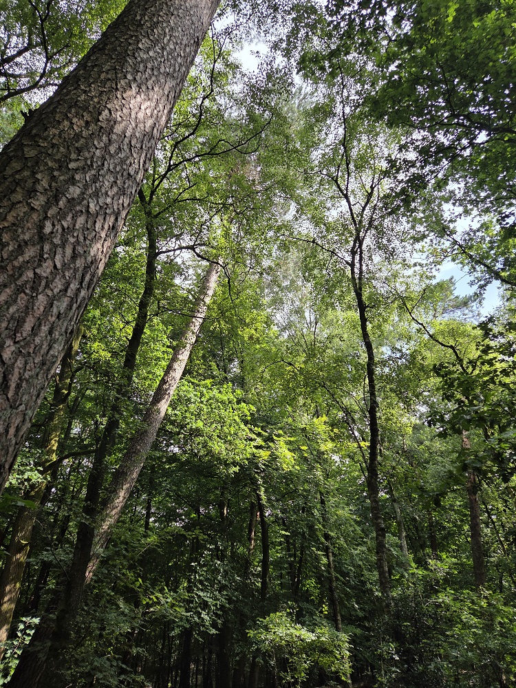
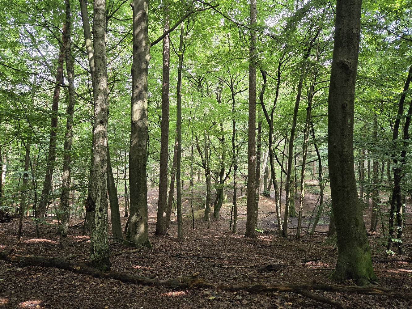
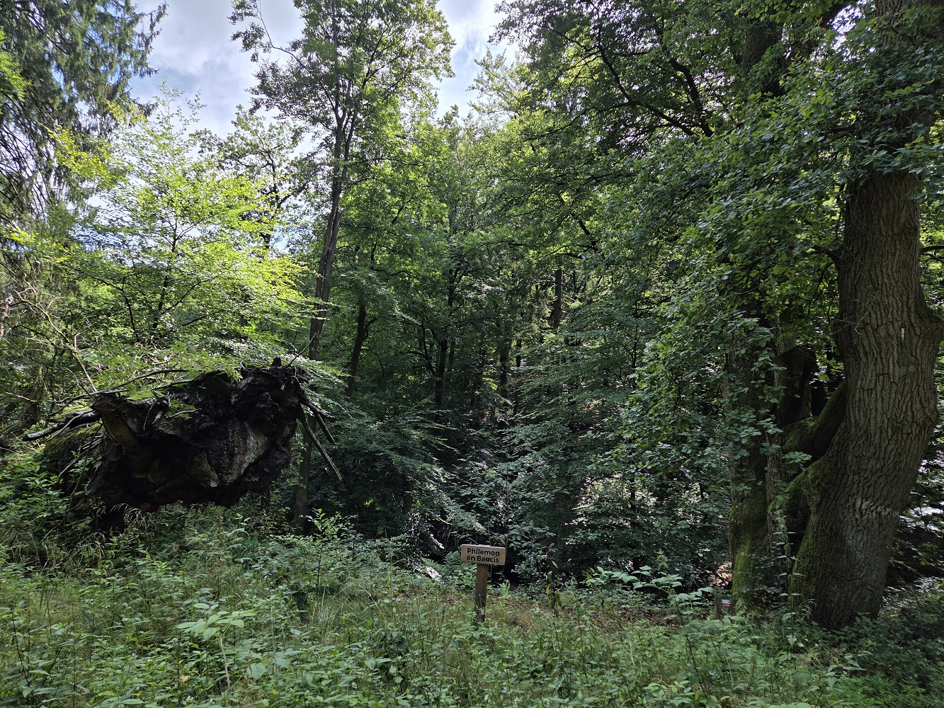
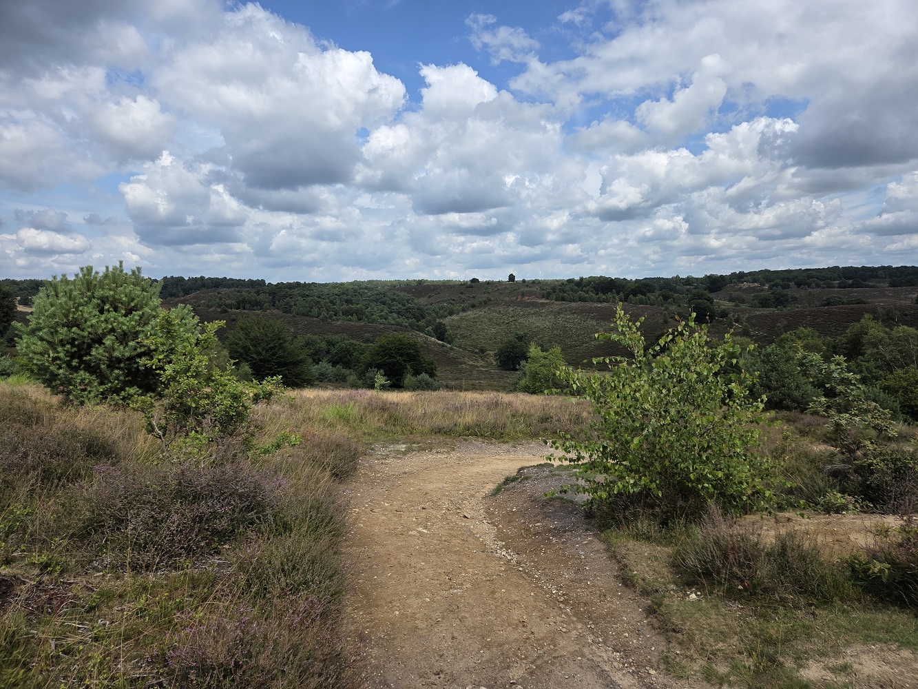
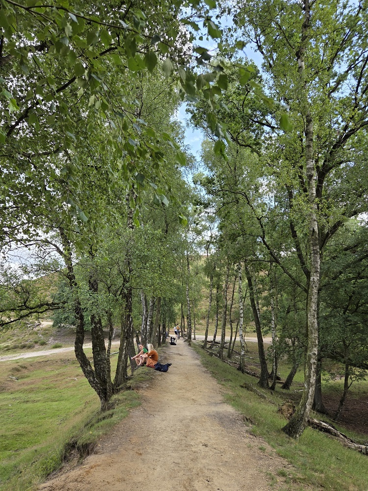
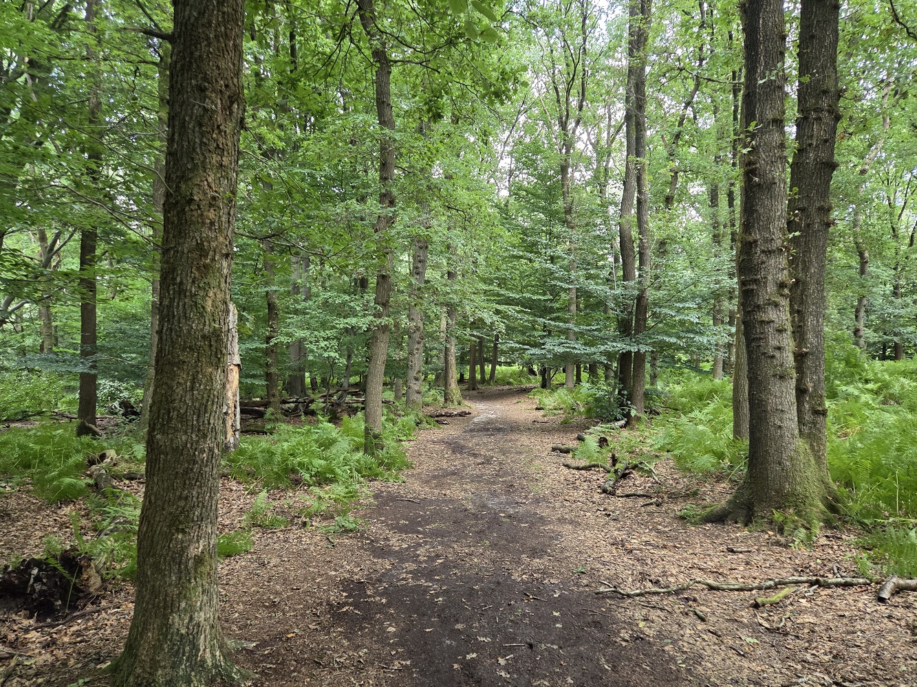
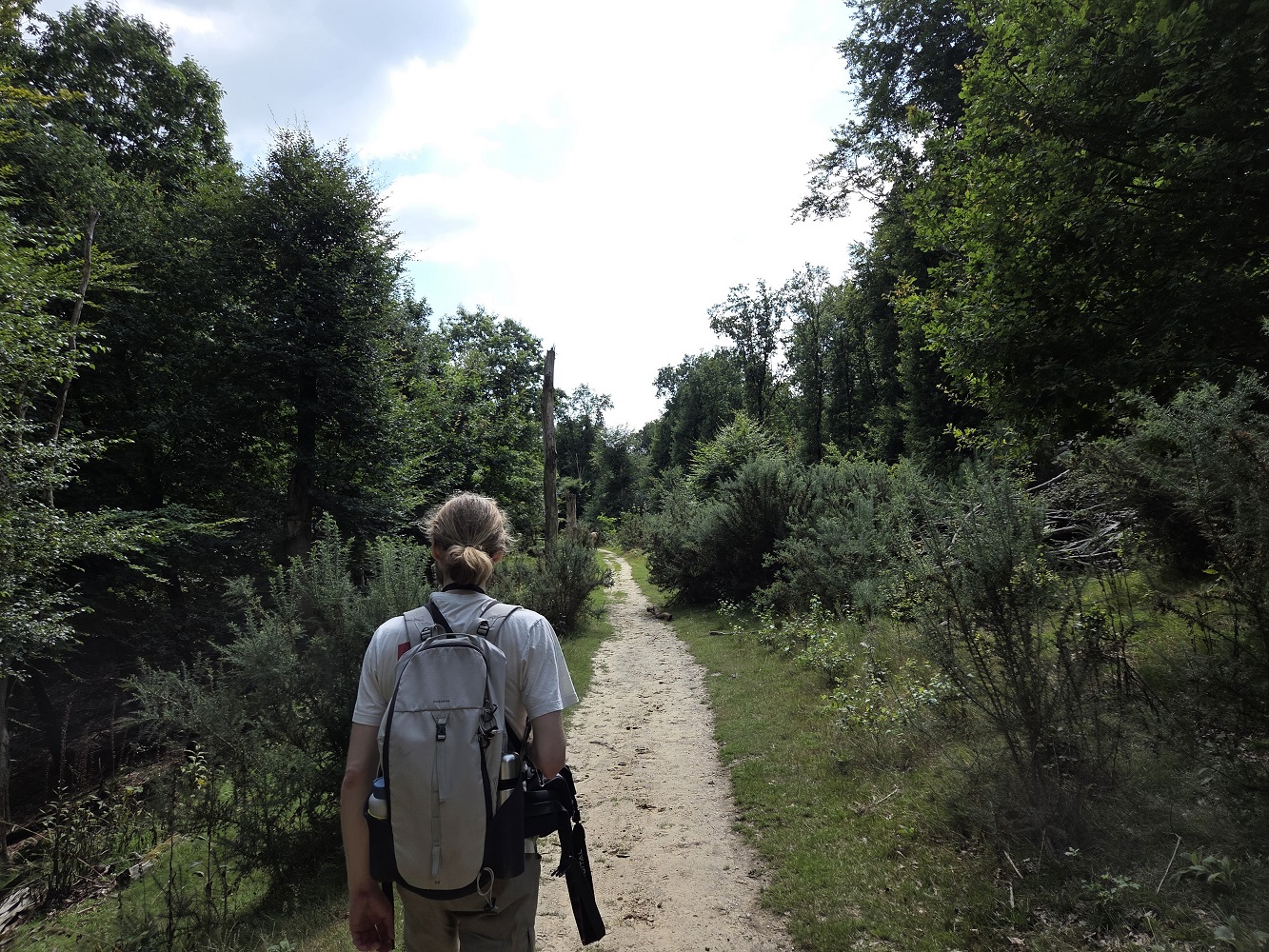
So we took the bus/train/bus to a nice little village called Velp, near Arnhem, buying sandwiches on the way at a bakery outlet in the train station. Once we found the edge of the National Park, the forest surrounded us, and the landscape went upwards rather suddenly. I was already wanting a snack, but I had like a dozen granola bars in my backpack because I was planning to eat them in the airport but then I wasn’t hungry in the airport.
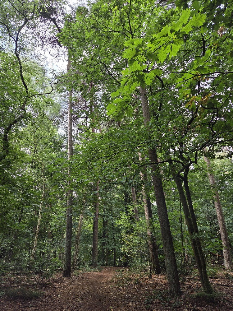
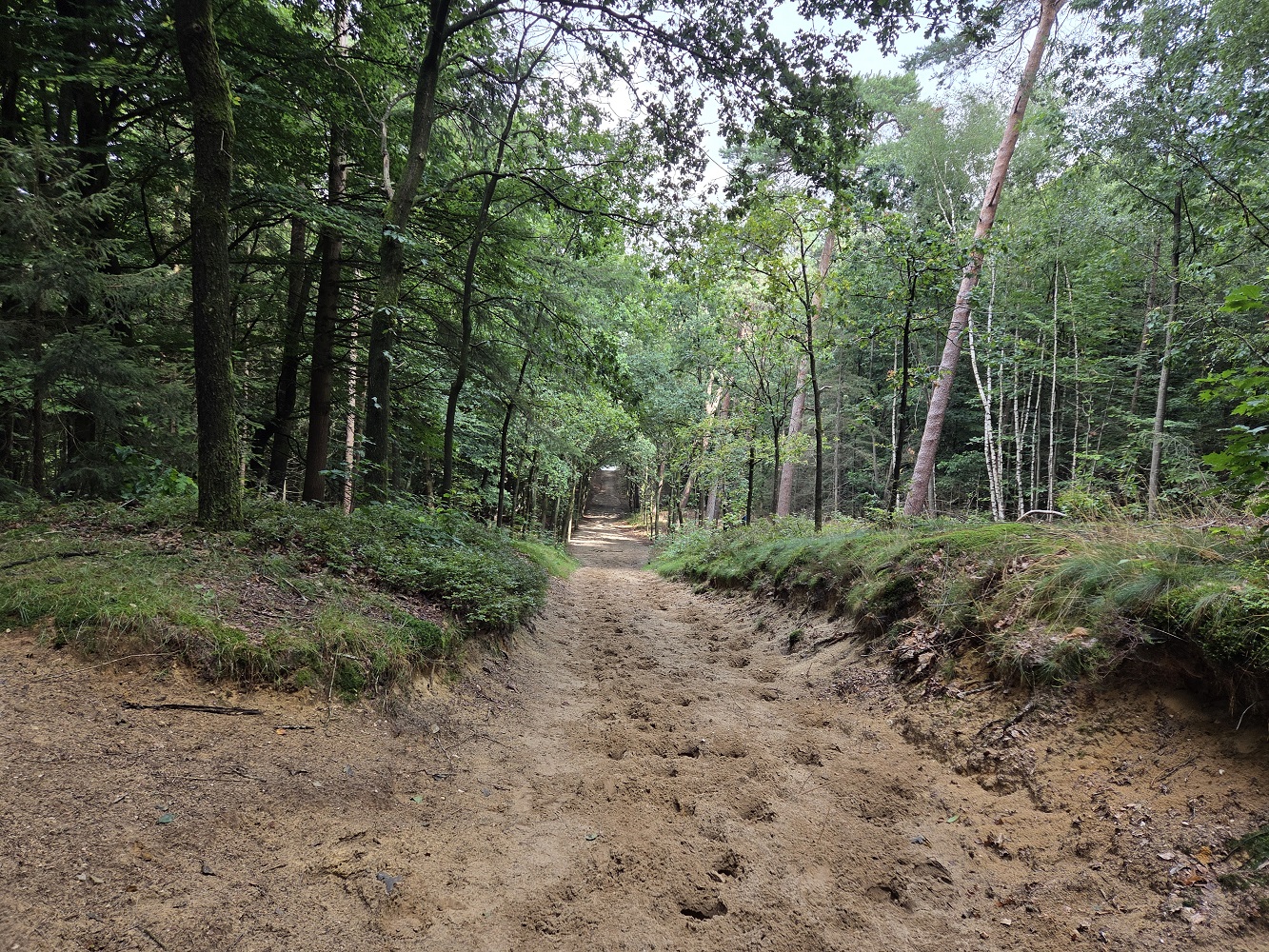
There were a lot of birds singing in the trees, tree creepers, tits, blackbirds, and woodpeckers. The path was pretty sandy under the organic matter, though with some clay in places, and it’s a horse trail as well, I saw big horse prints. I actually felt really at home here. If I were to move to the Netherlands, clearly I must move to this area, not Holland.
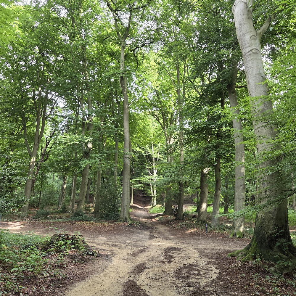
The park is criss-crossed with dozens of paths. Tharash used his phone GPS to make sure we were going correctly on the route he had planned.
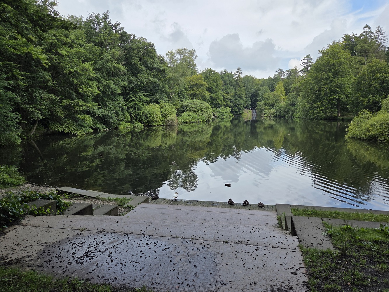
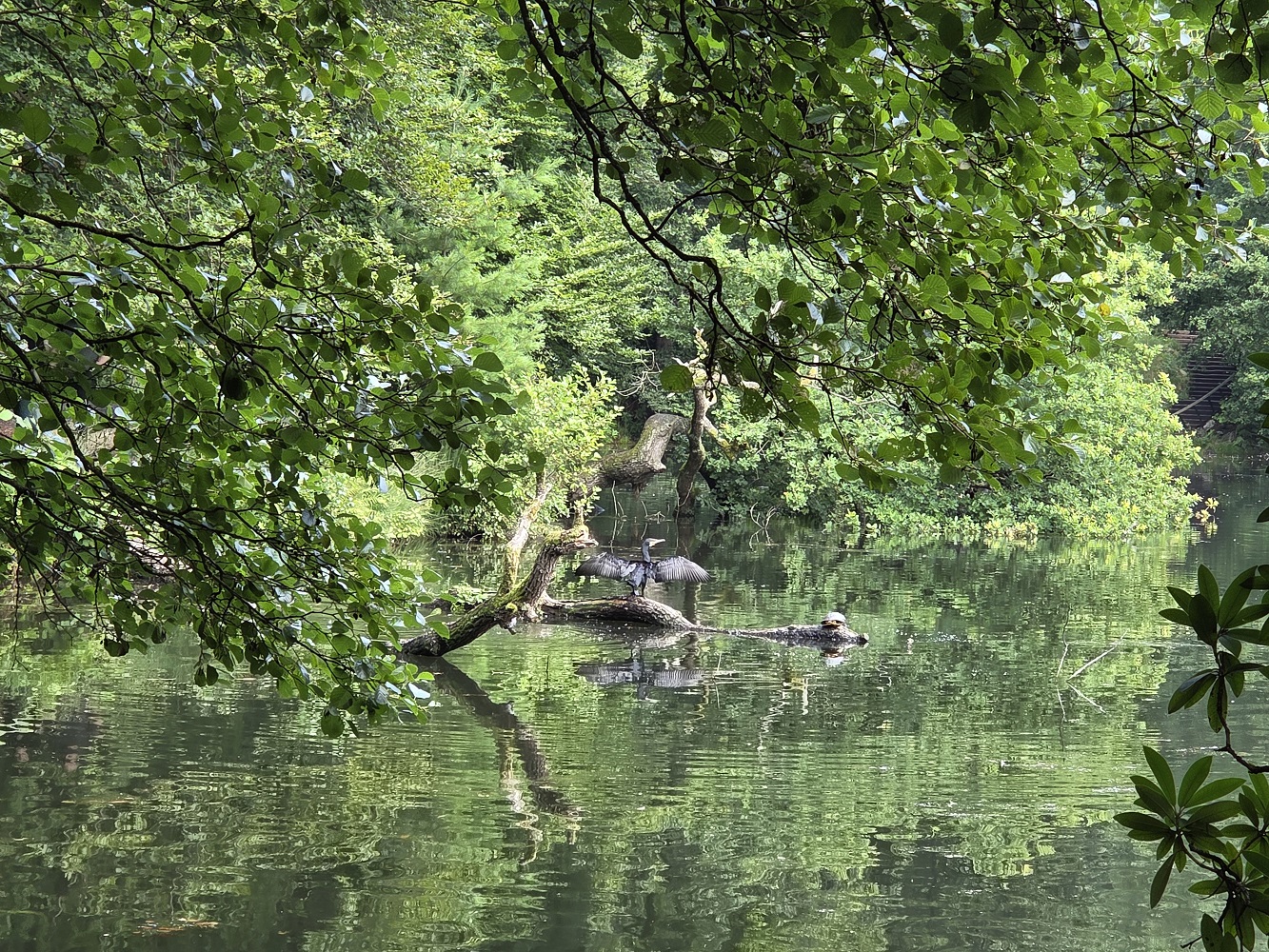
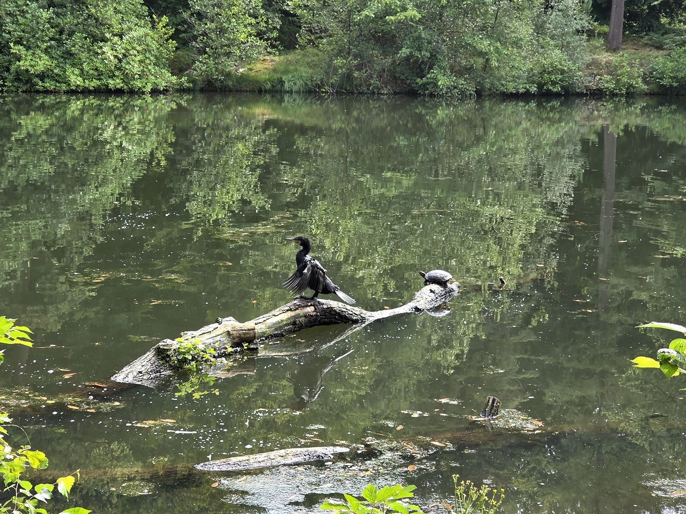
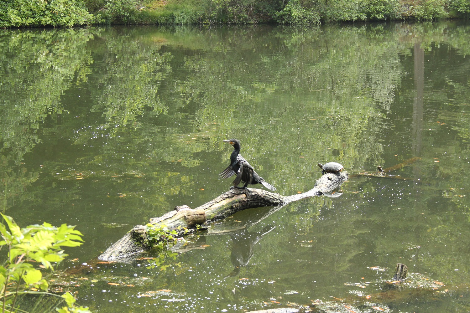
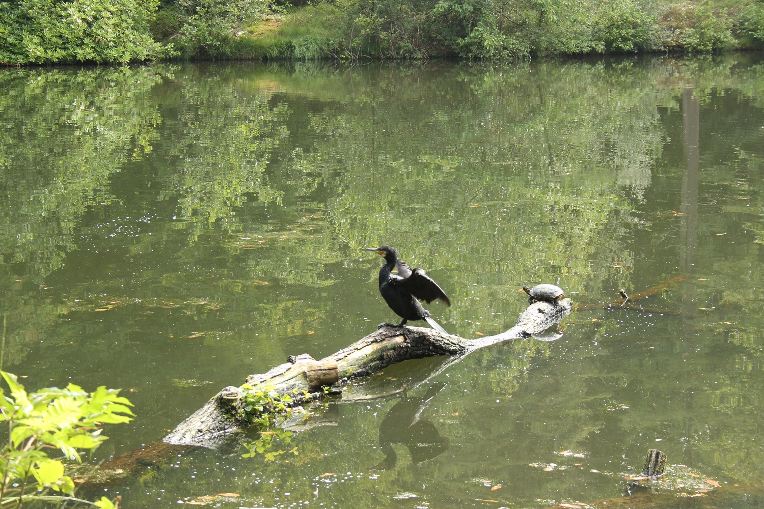
We came across a small lake, which was probably created in the 19th century inspired by apparently the English fashion of adding water features that look natural but aren’t. There was a log with a turtle and a cormorant, the cormorant drying its wings in the sun, though it did hop in the water and swim around a bit. The turtle was supremely unbothered.
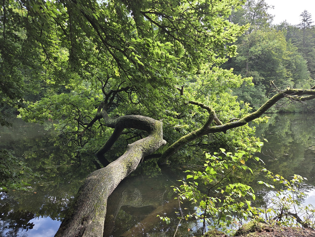
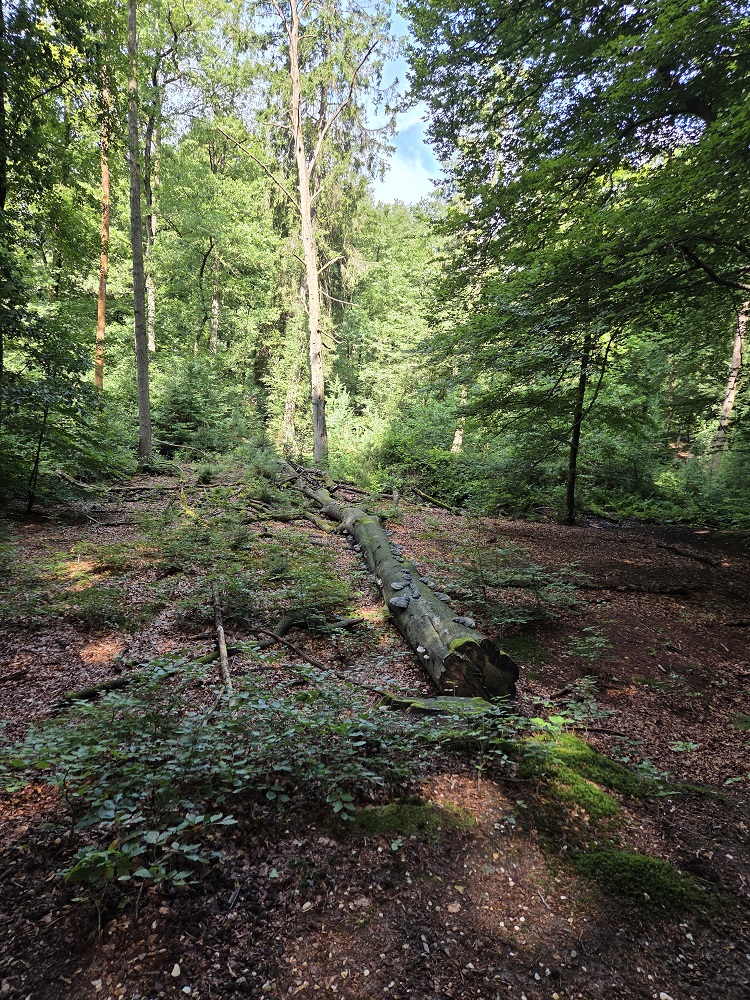
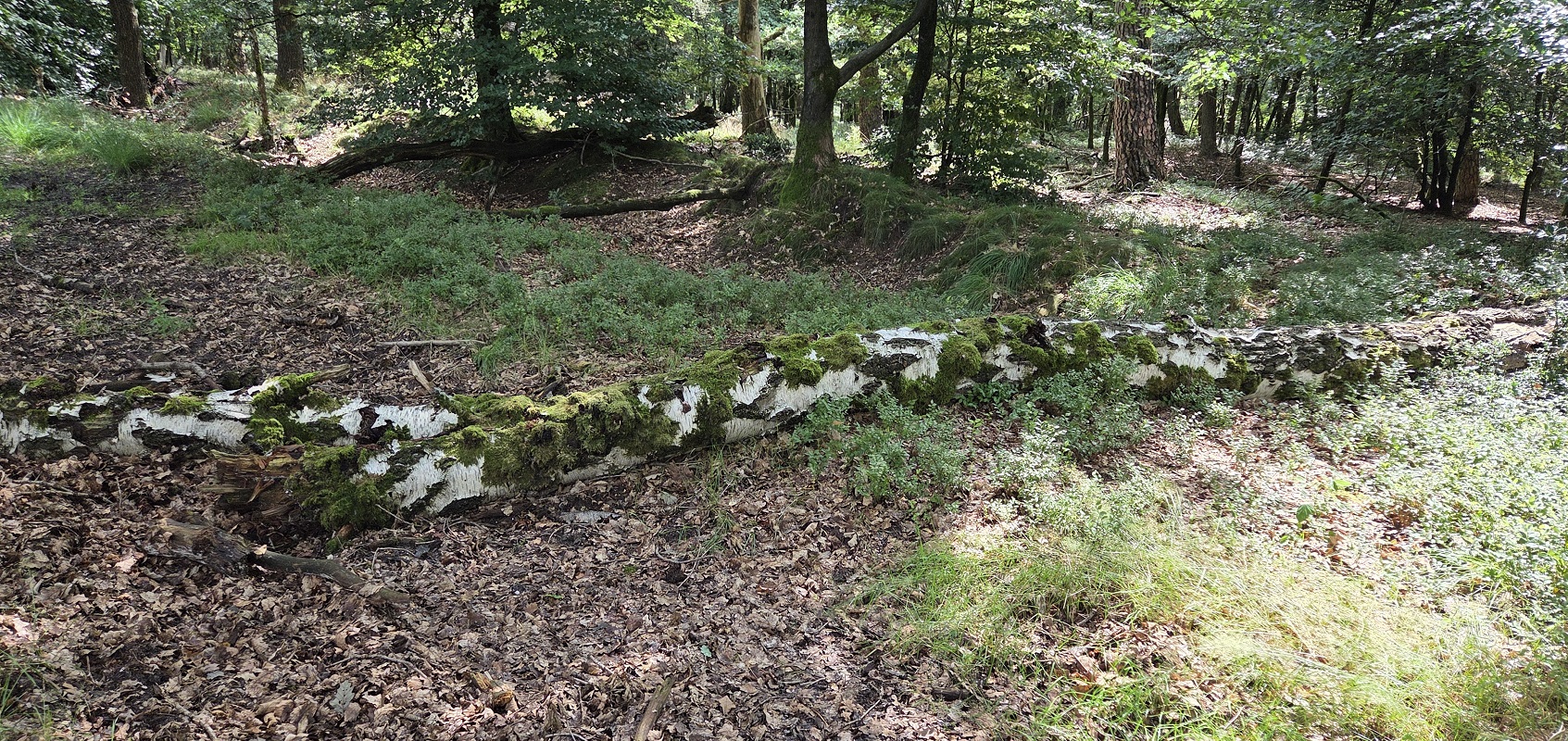
This tree is just horizontal in the water, but still very much alive. I love how durable trees are.
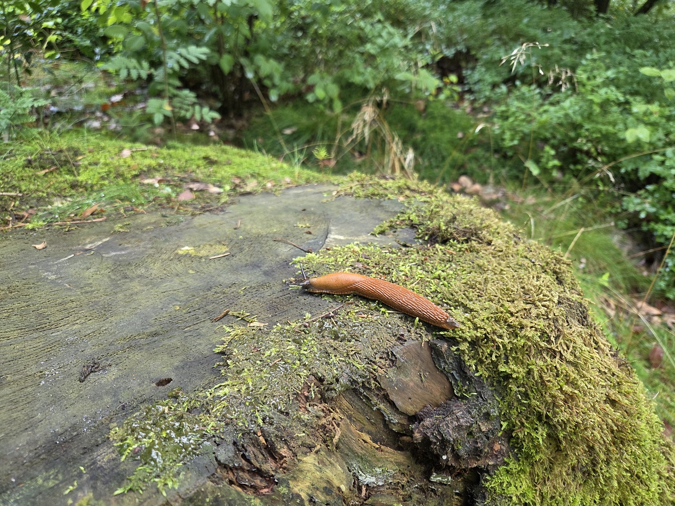
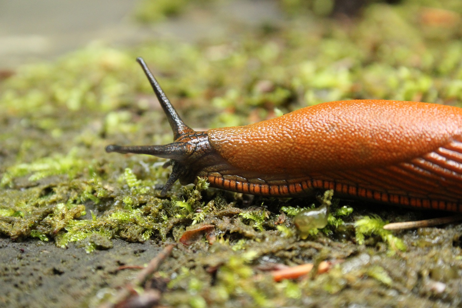
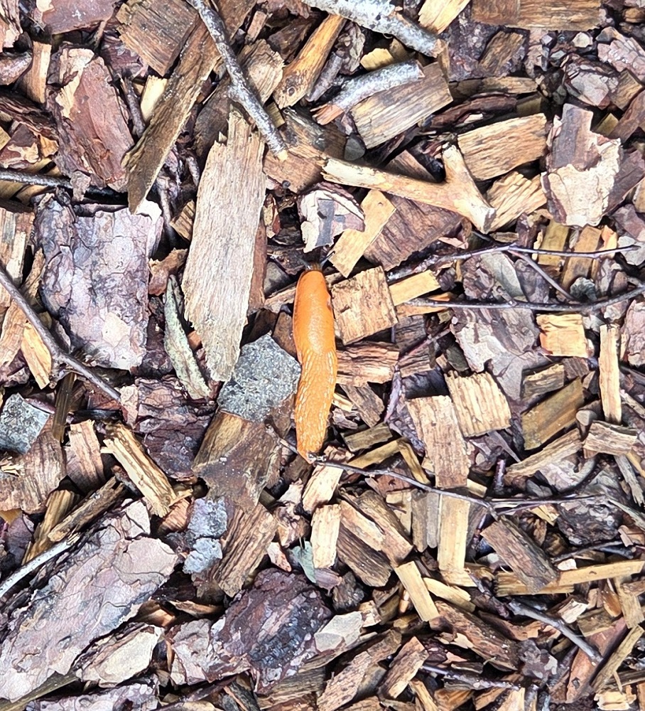
We came across this amazing slug on a log, just cruising, vibing, on the move, and Tharash took some amazing macro photos of it. We saw a few more slugs on the way too. The Dutch word for it doesn’t differentiate between ‘slug’ and ‘snail’, they’re all ‘slak’ in Dutch.
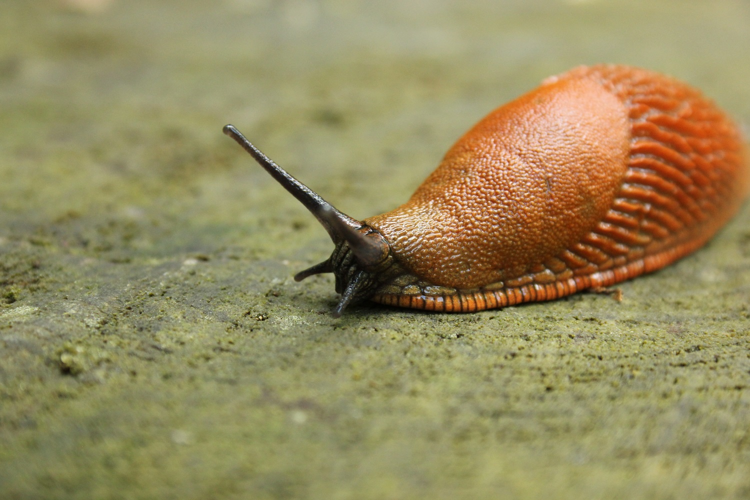
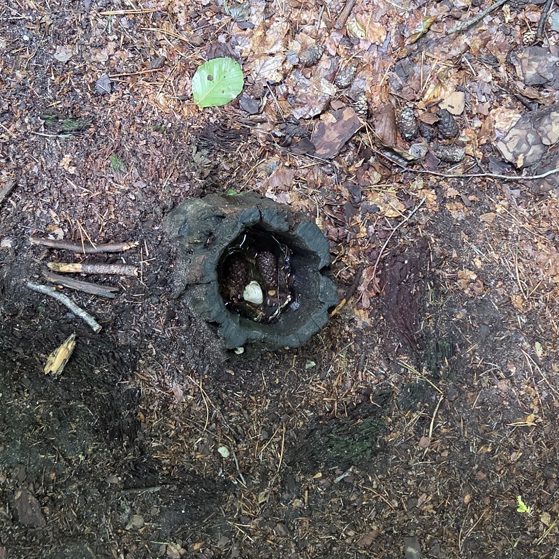
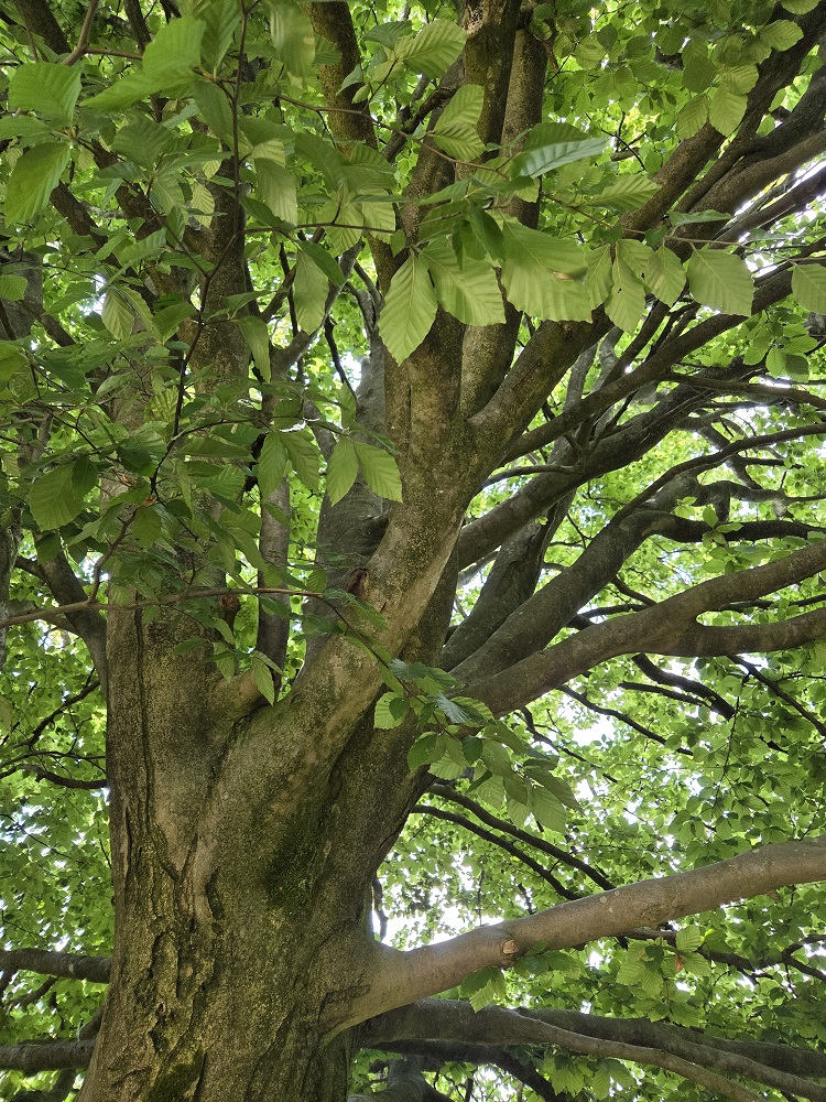
I do not recall what we were discussing that was picture-related.
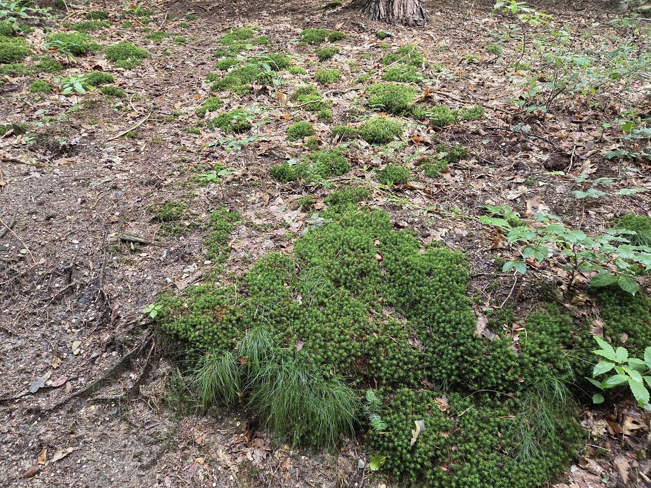
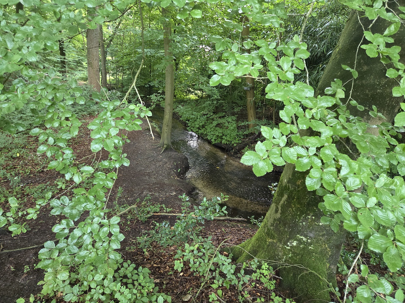
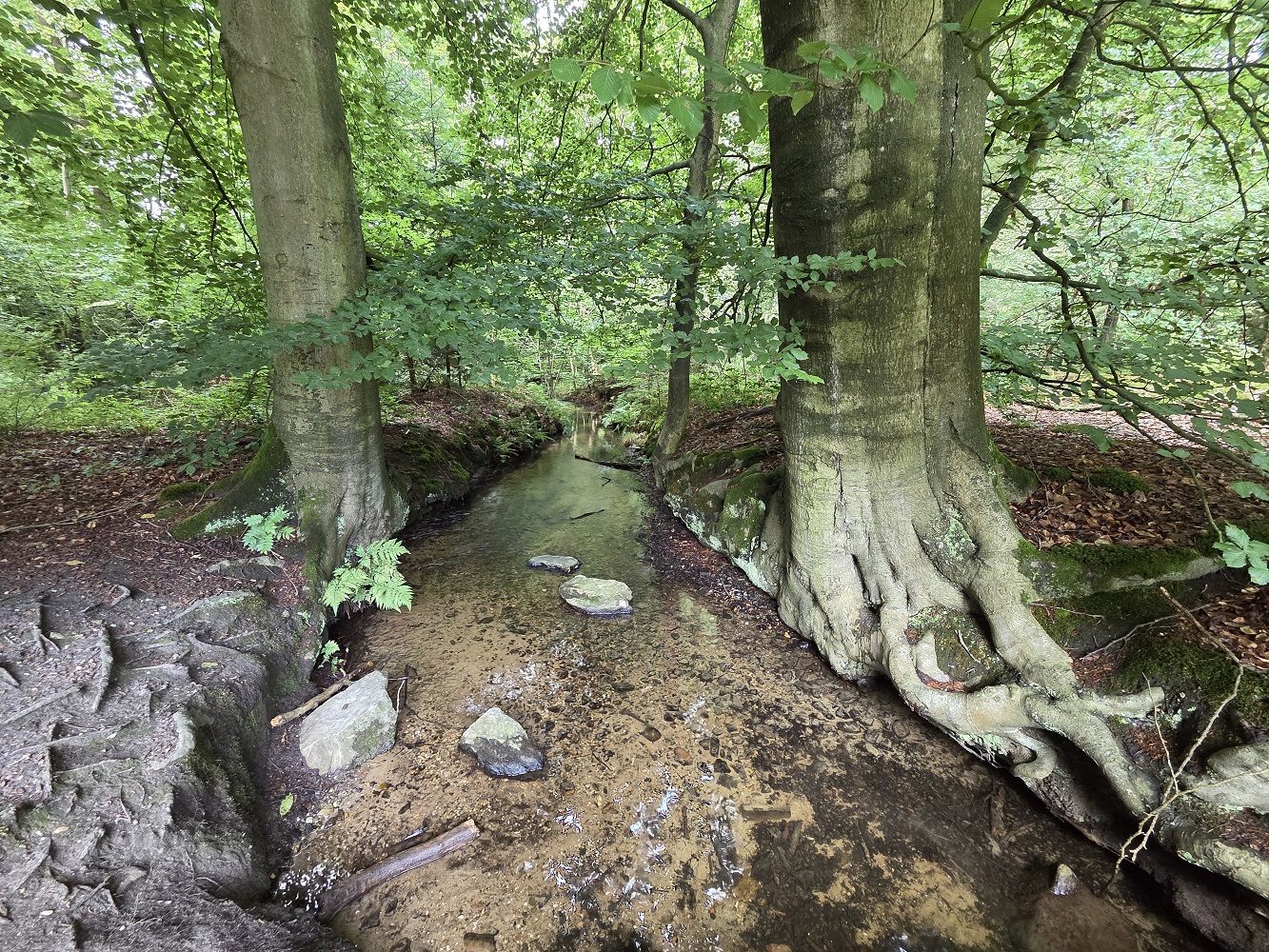
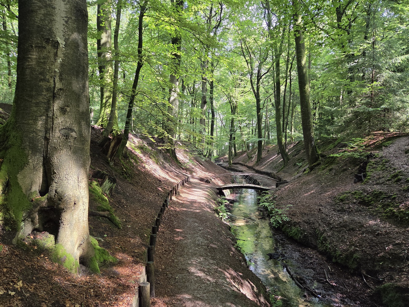
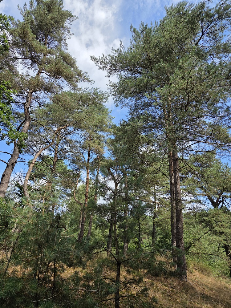
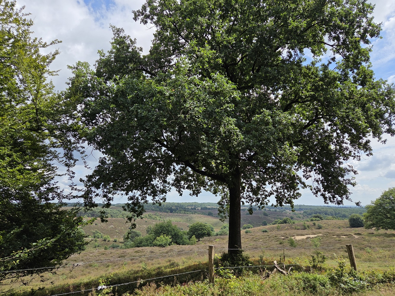
We followed the stream that fed the lake for a bit, until we passed by the spring where it emerges from the inside of the moraine. Then it was just a bit further until we were on the sandy top.
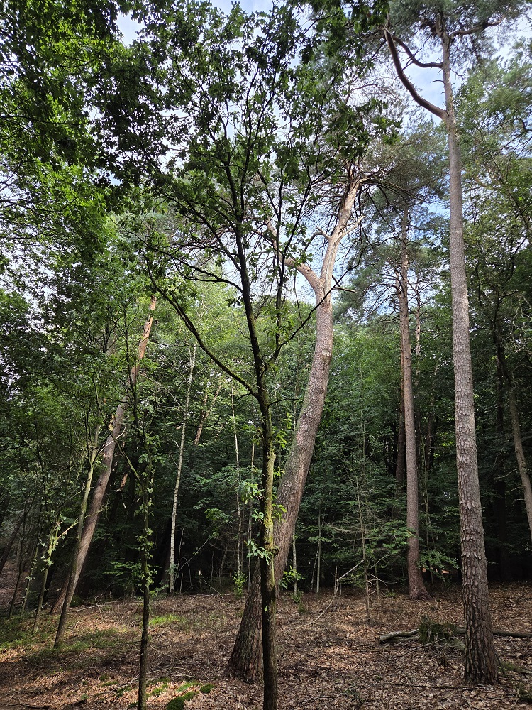
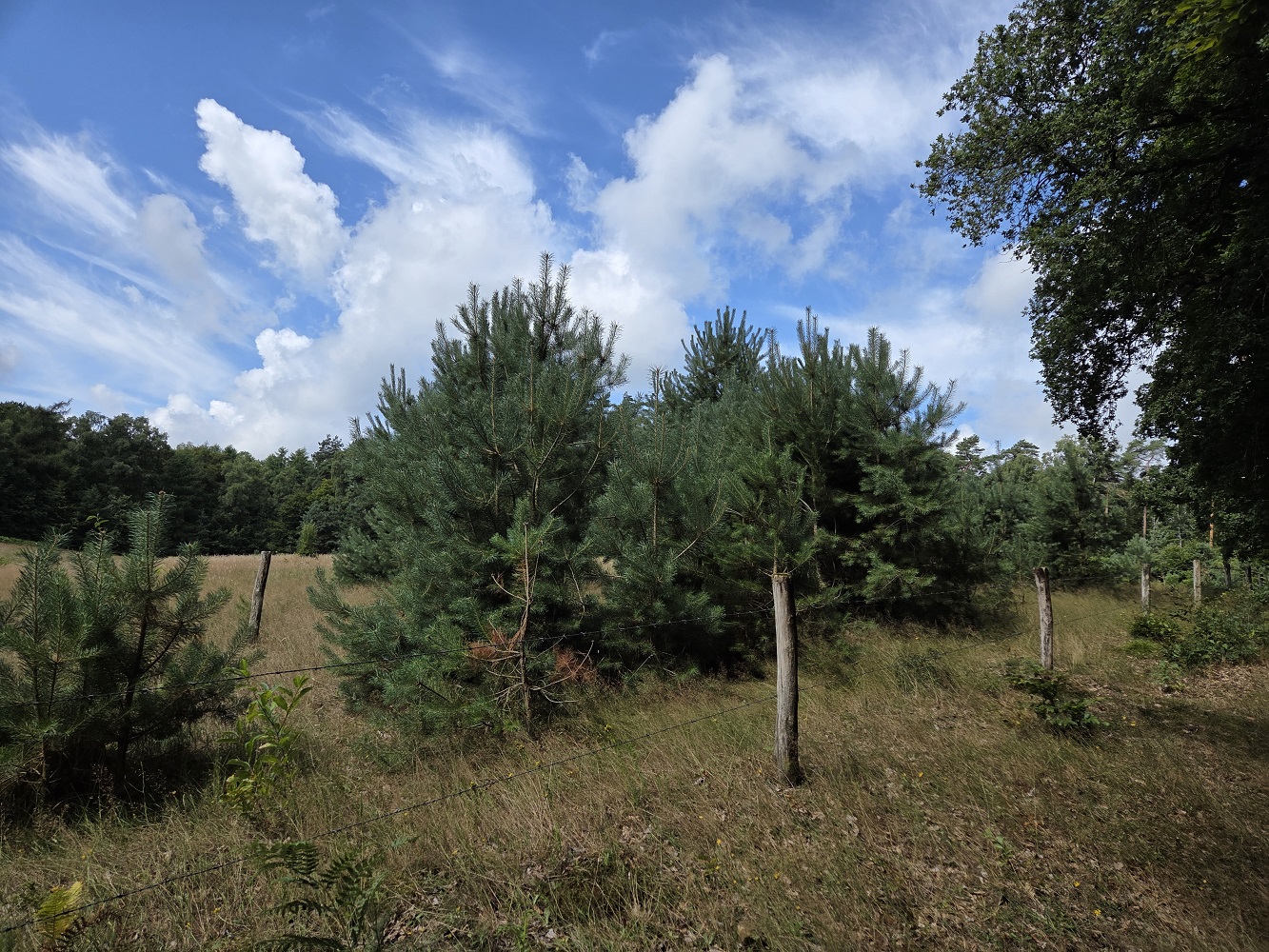
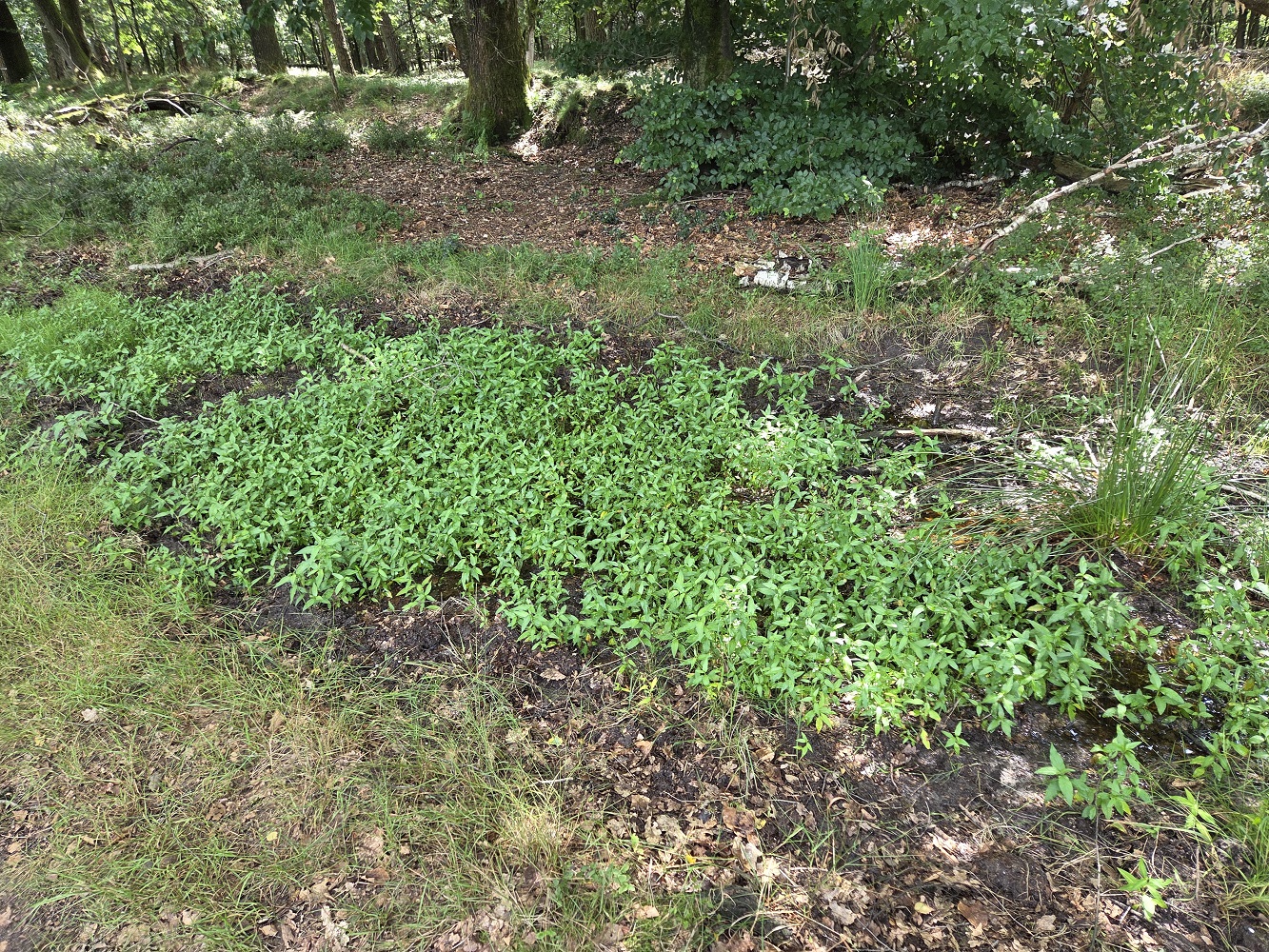
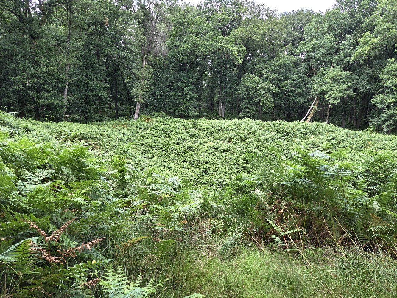
Just past the spring we came to this field, and stopped for like 10 minutes trying to see a little bird that was singing very nicely. I thought I had a video of its song, but I guess not. Tharash has an app that will identify birds by their song, though; I think it was a rather rare and shy bird, one of the little tit birds. Apparently they like these little bushy pines, not too dense, not too sparse.
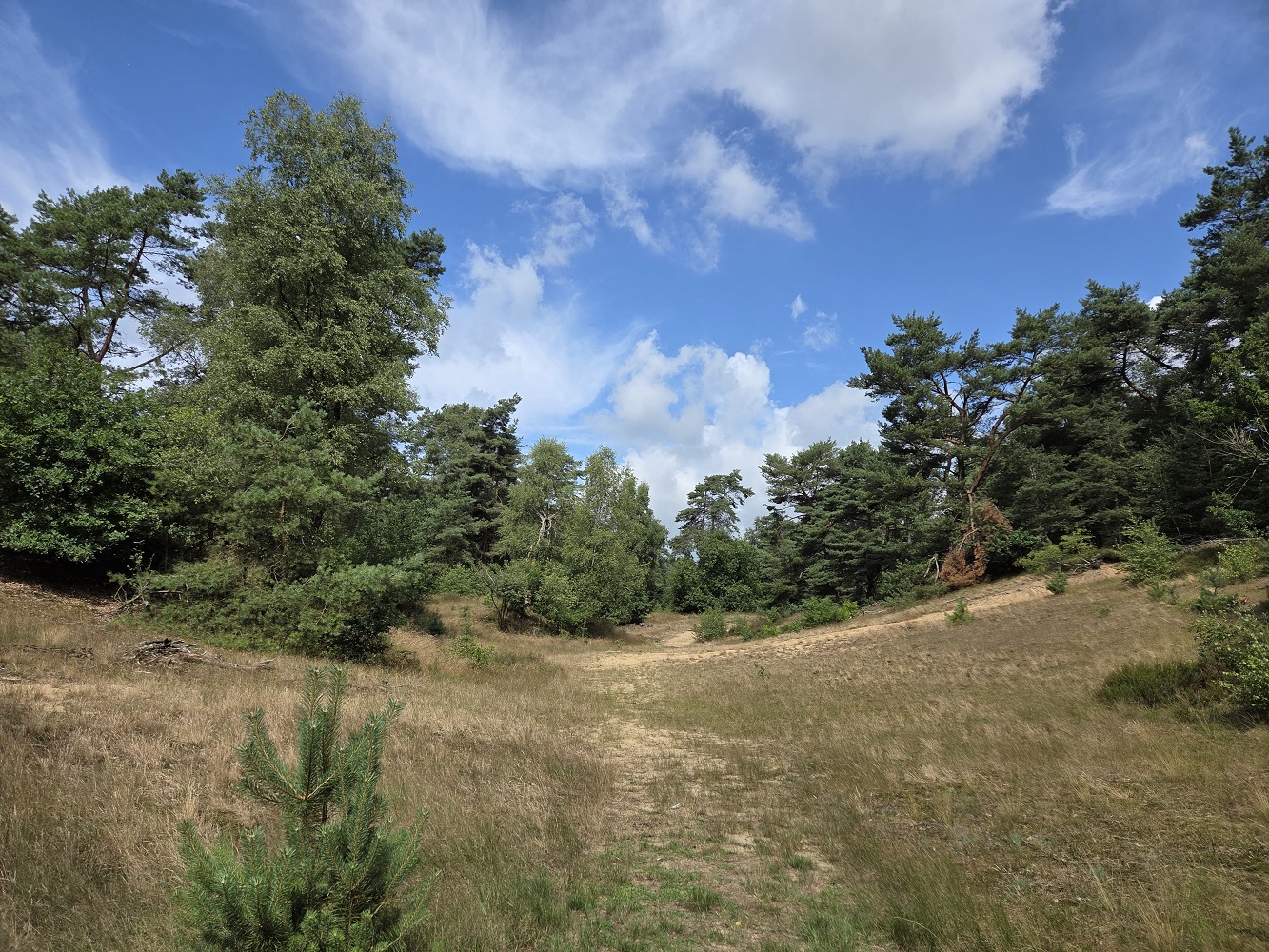
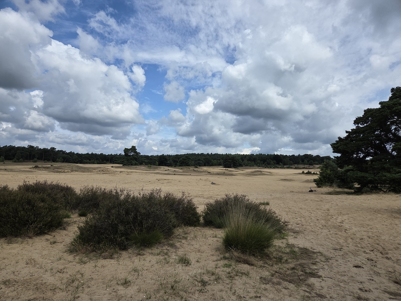
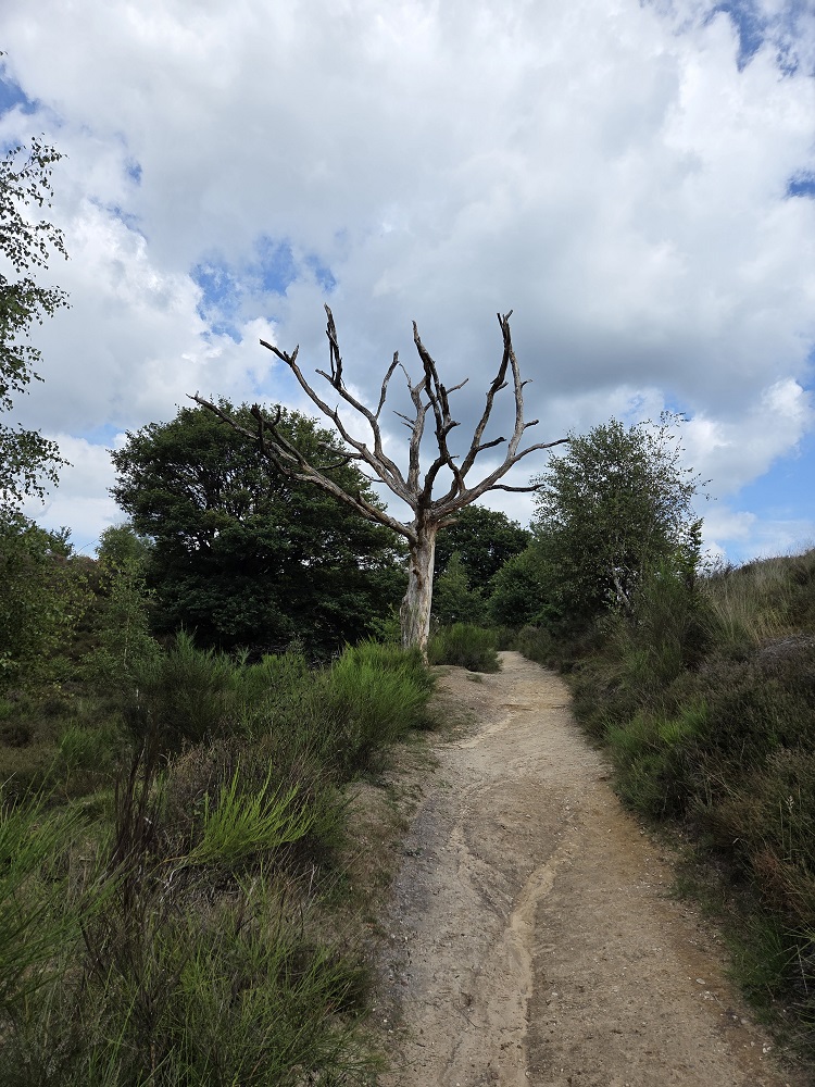
First glimpse of dune sand
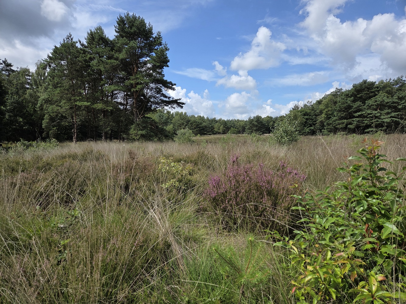
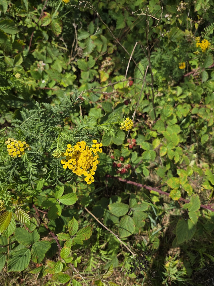
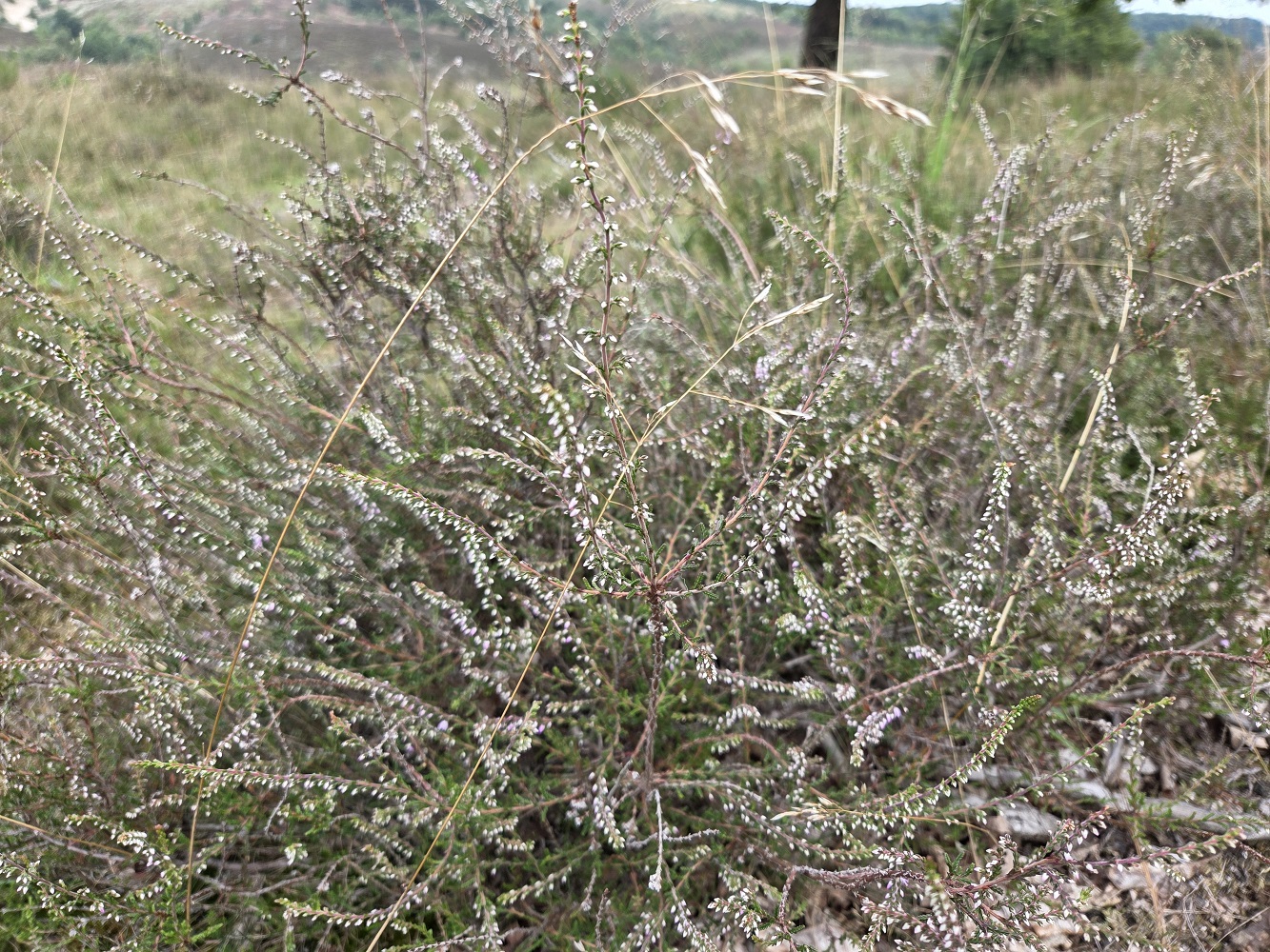
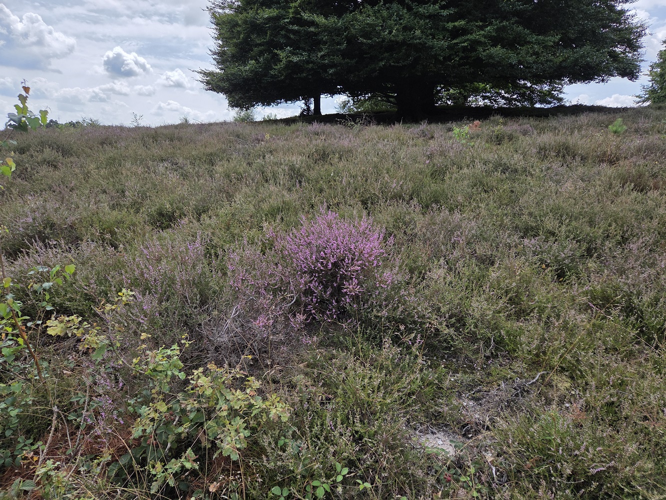
First blooming heather. We were there like 1-2 weeks too early for widespread heather blooming.
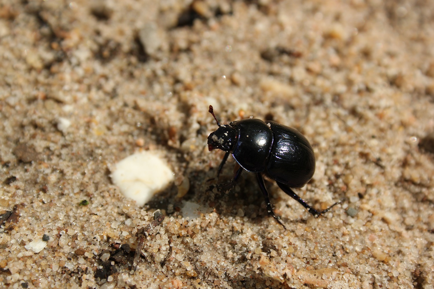
The park was covered in dungbeetles, many of them dying, and little pencil-sized holes in the sandy path. We think they laid their eggs and then gave up and started dying. When they fly, they have a very bassy buzz.
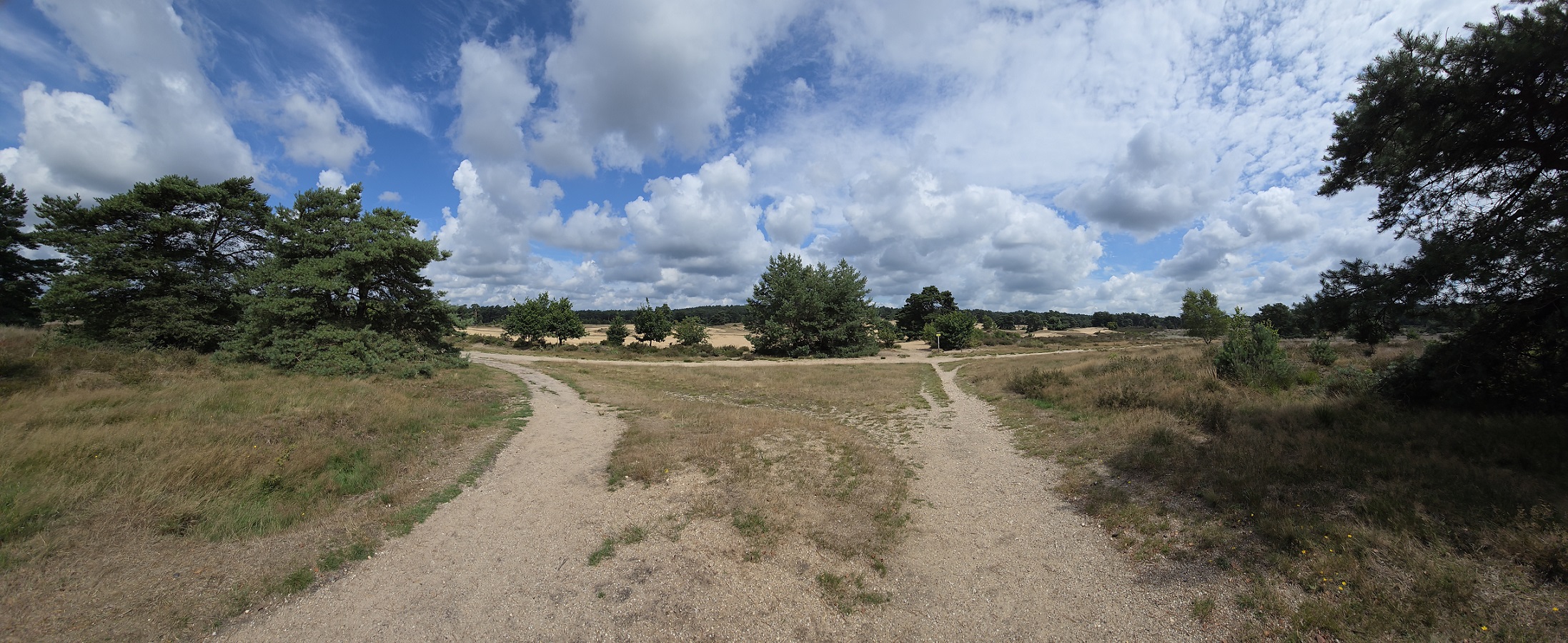
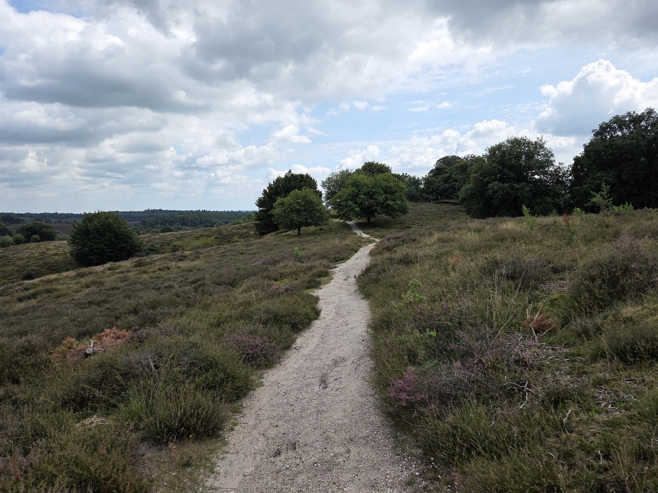
You can see here recolonization of the dunes with grasses and scrubby things, leading to heather and bushes, leading to trees. Apparently they don’t actually want this to happen TOO much, they are trying to artificially keep a certain environmental state, so that’s one reason they graze the park with sheep.
Around here we saw a couple people with big white dogs with super-fluffy tails.
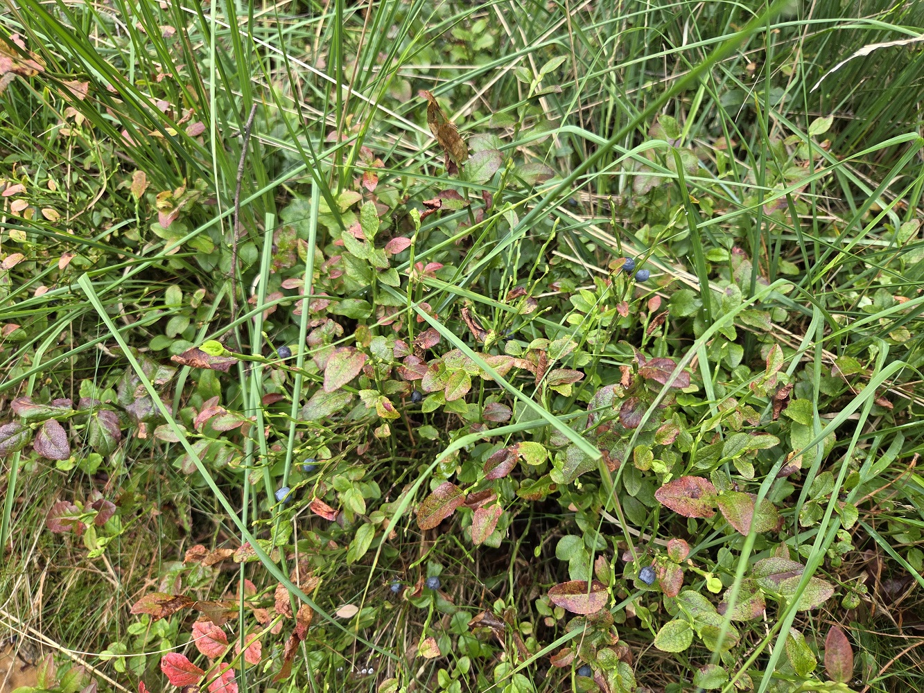
Blueberries! Tharash almost ate one and I gave him a massive side-eye. But they weren’t ripe enough.
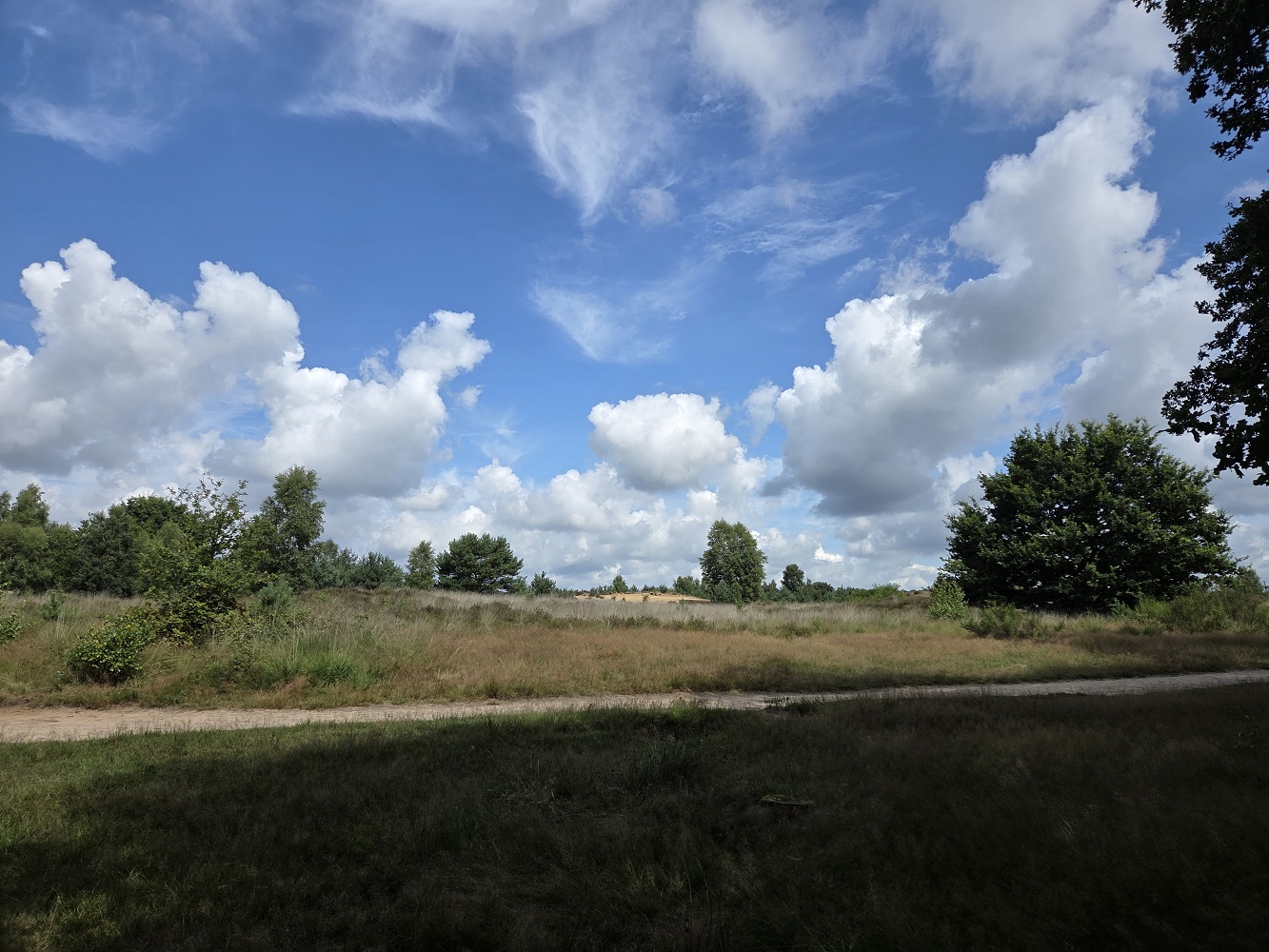
This is the view from the bench where we ate lunch. I had a crusty sandwich with tomato, basil, and baby mozzarella, and even though the tomato made the paper bag kind of soggy it was very good. And a chocolate broodjes, a flaky pastry with chocolate inside, omnomnom I want these every day.
There was a loud guy at the benches where we stopped for lunch, instigating loud and cheerful conversations with random people, I think, but luckily all he did to us was wish us an enjoyable lunch.
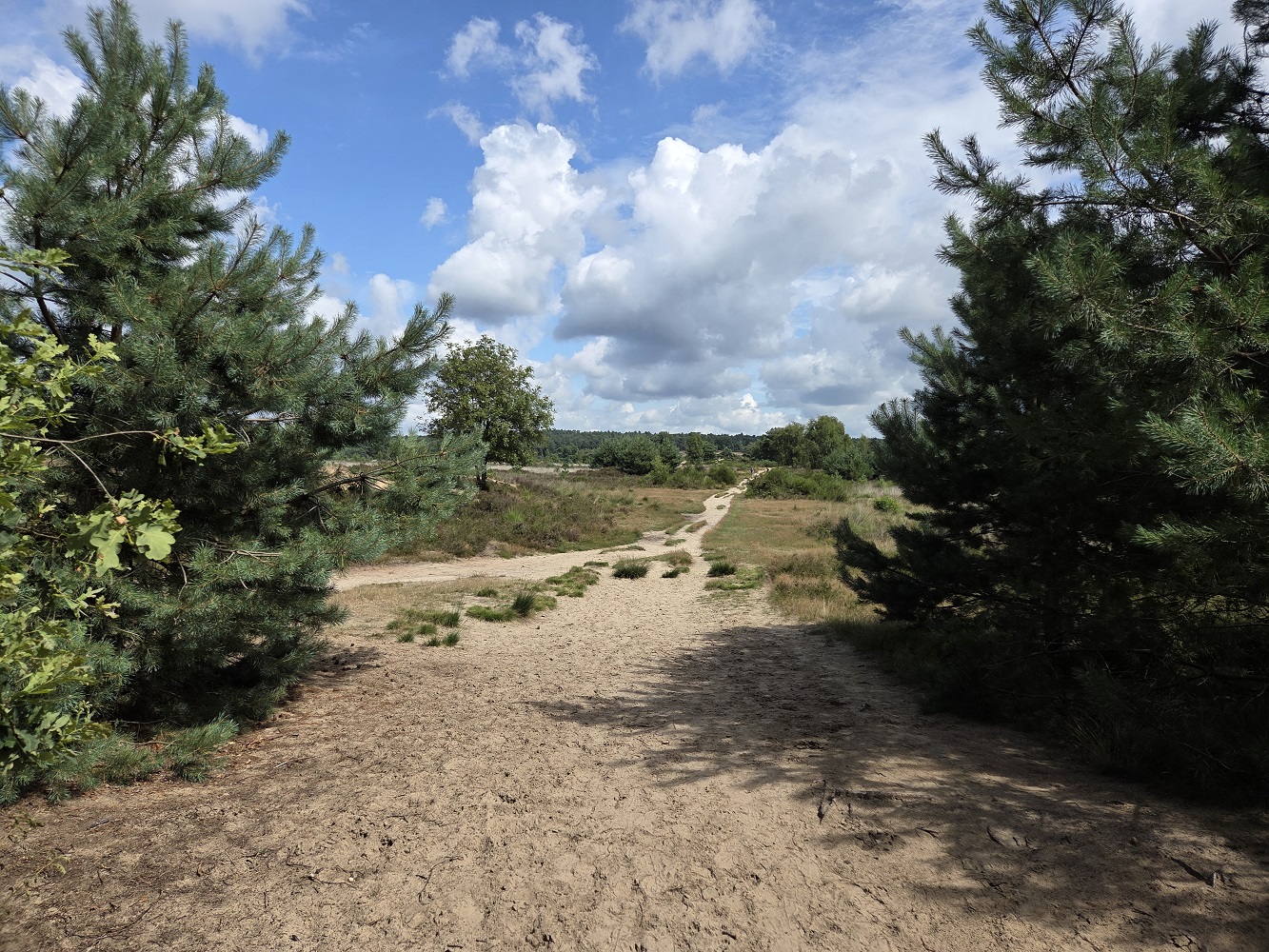
Heading down into the valley to go up the other side.
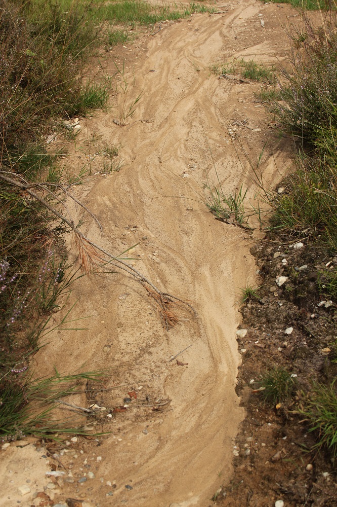
Water patterns in the sand and clay.
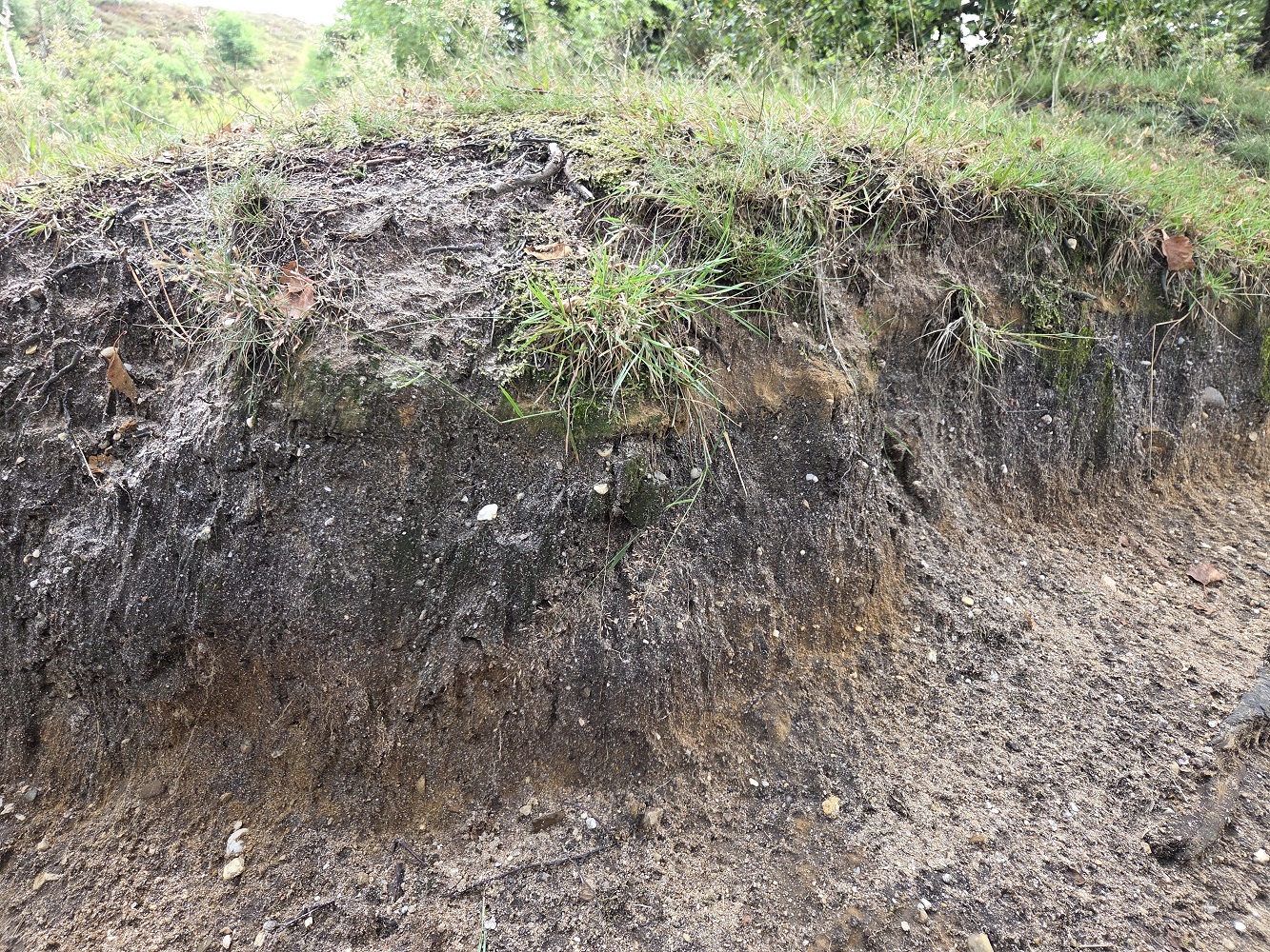
Here you can see layers of organic matter on top of the sand, dotted with white pebbles from glacial till.
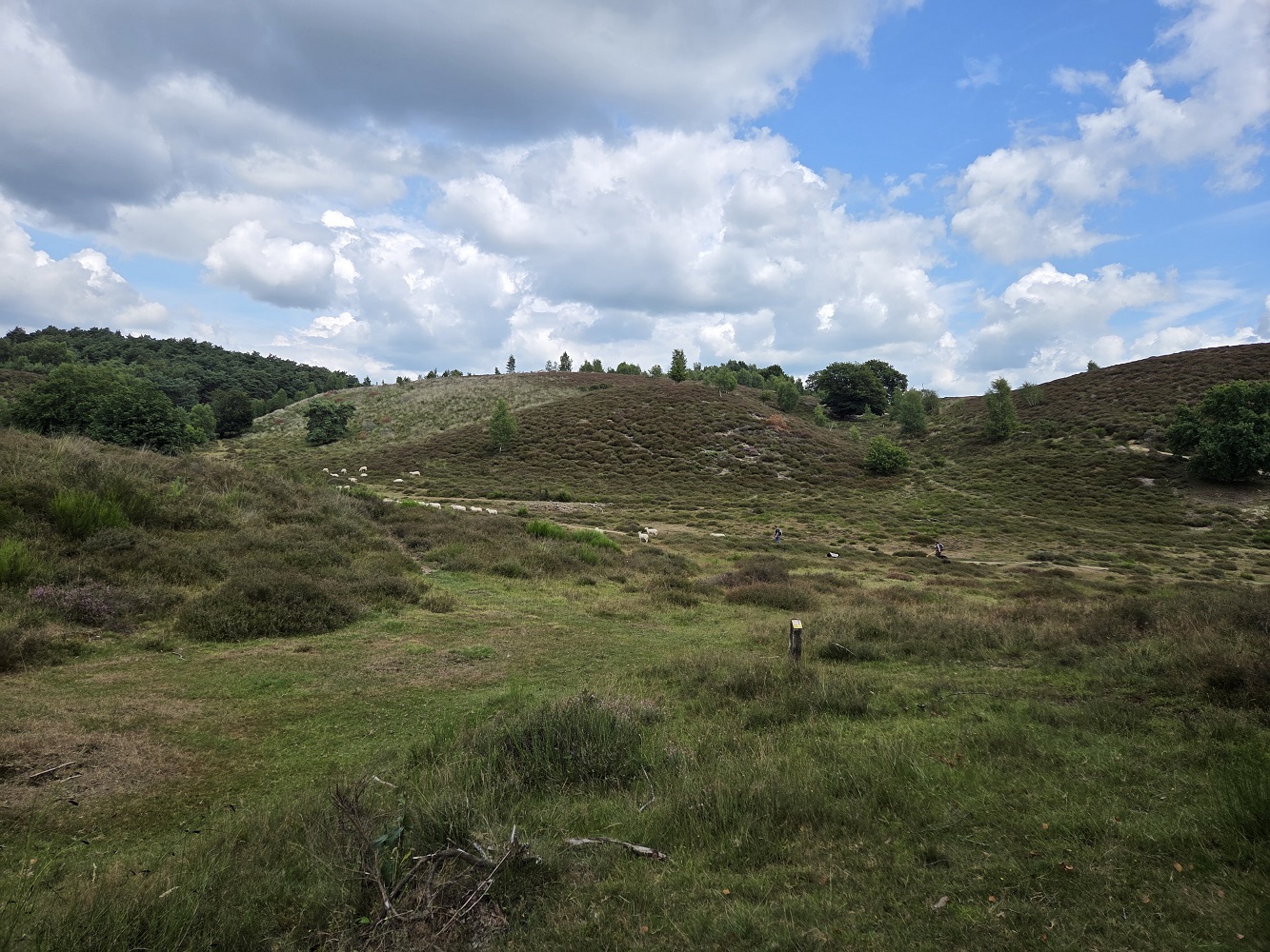
SHEEP
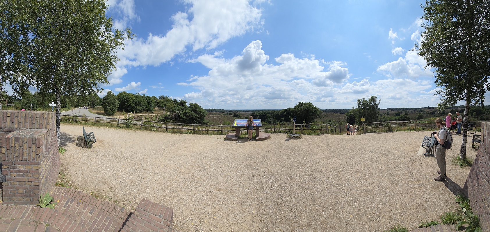
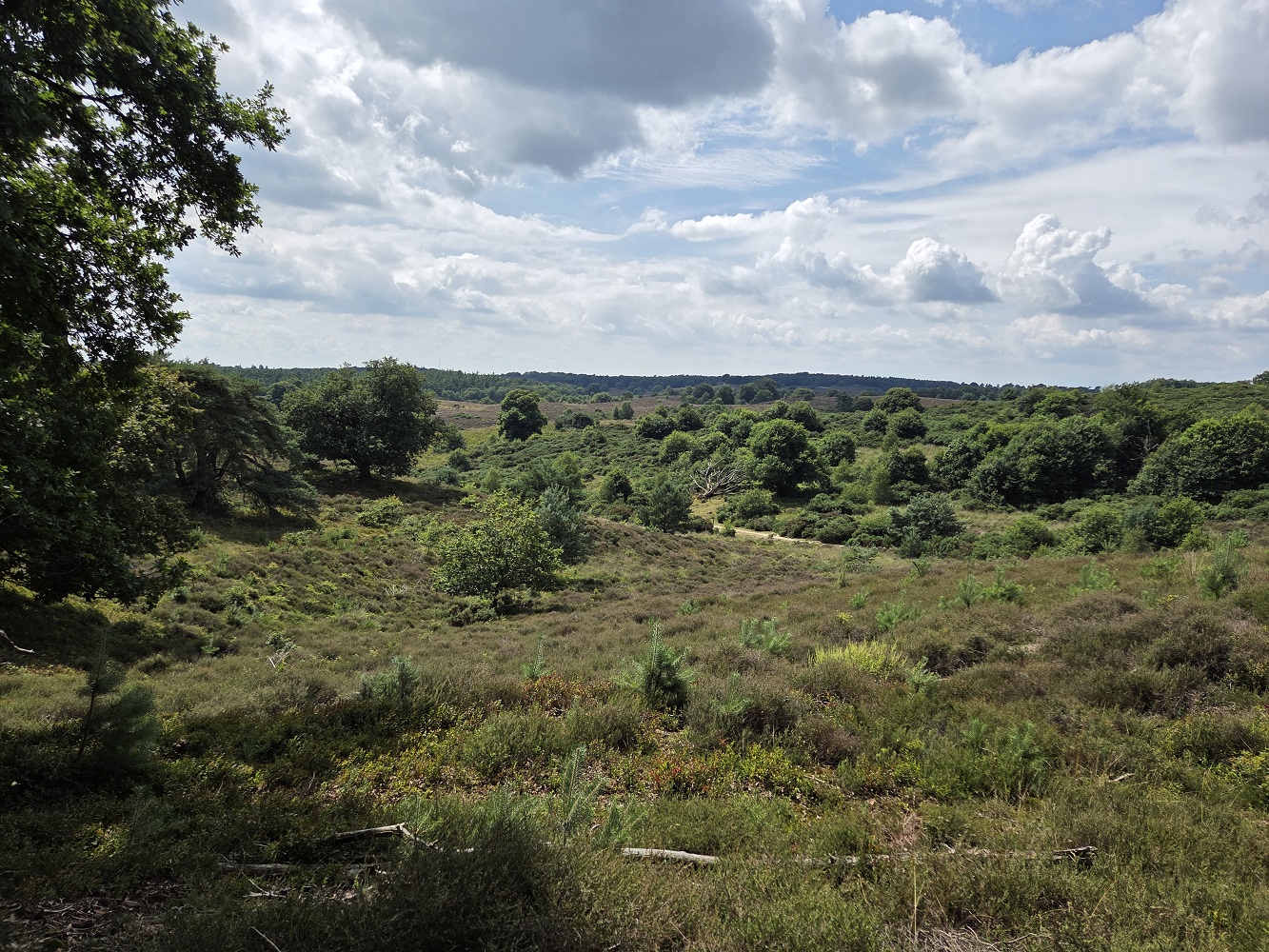
This is the Posbank outlook. If you squint, you can see Germany from here. Unfortunately not in this panorama, because it sacrifices detail for size, and even the non-panorama photos didn’t catch what’s barely on the edge of human sight – a church tower and a bridge, among others.
Climbing up to the viewpoint was pretty steep, we made jokes about how hills make my heart go doki-doki (Japanese onomatopoeia for heart pitter-pattering… normally with love though). There’s a restaurant by the viewpoint, which used to be in a nice rustic farmhouse, but unfortunately it burned down so now there’s a modern-looking building with wide viewports. We didn’t stop, not even for ice cream.
This was a really weird formation, like a gigantic mole-hill with a steep depression in the middle. It was so covered in ferns that lifting my camera as far as my arms could reach couldn’t show it. Tharash thinks it might be a small pingo.
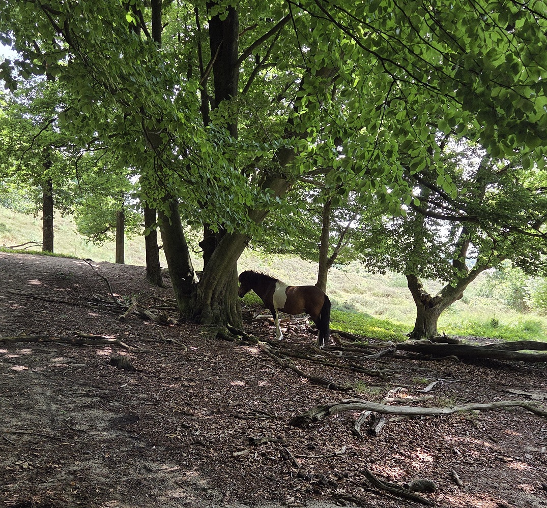
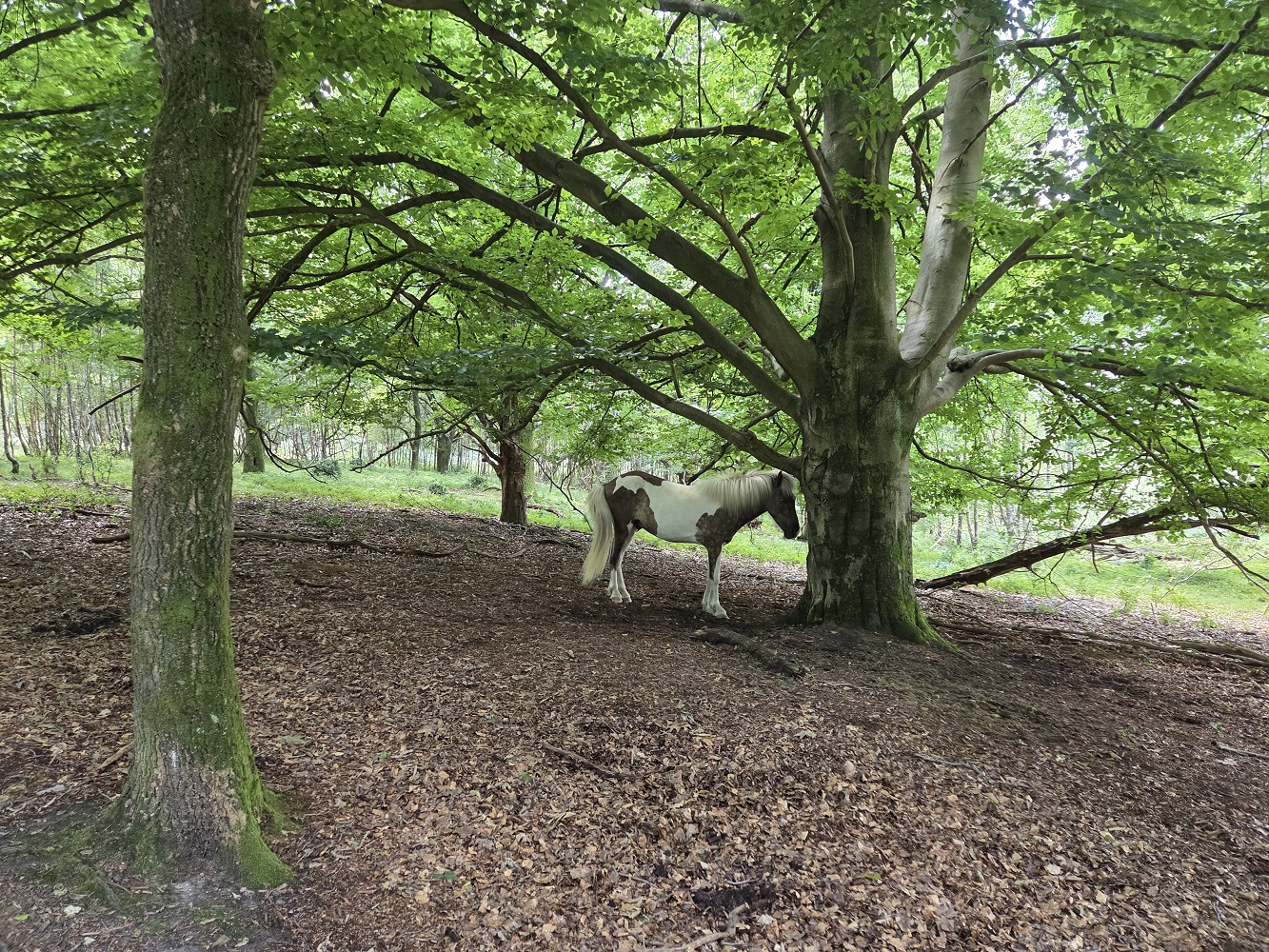
The last part of the walk had some ponies/horses just hanging out under the shade of some trees to escape the sun. I took pictures of all of them but I didn’t post them all.
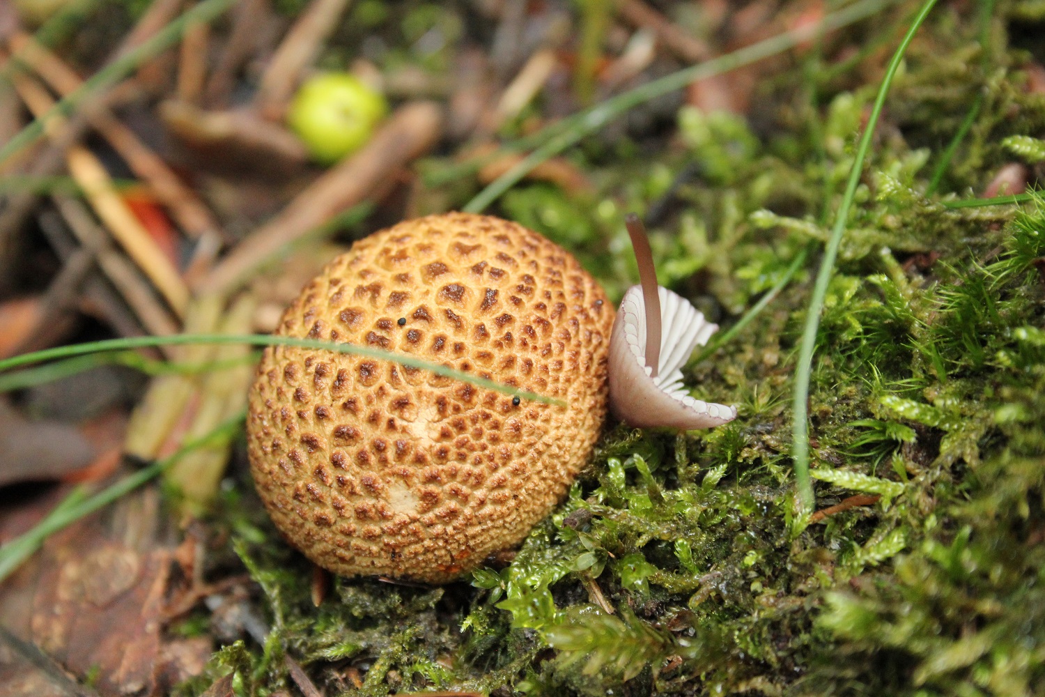
I don’t remember which day it was, but one of these days I had the thought that the Earth was just left out long enough at room temperature that it grew mould, lol. 3.8 billion years of room temperature (interspersed by a couple dips in the freezer I guess, though that’s not the habitable zone’s fault).
Next – the Drentsche Aa